

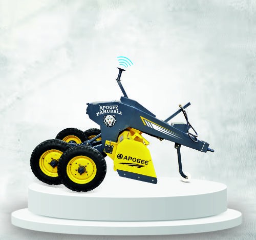

3D GNSS LAND LEVELLER
3D GNSS Land Leveller by Apogee Agrotech India is an advanced GPS Land Leveler designed for high-precision land preparation. As a leading GNSS Leveling Machine, it supports efficient water usage and optimized crop growth. Trusted as a top-tier Smart Agriculture Equipment, it is one of the most reliable Precision Farming Tools in India, empowering farmers with accuracy, speed, and modern farming technology.
Features & Advantages
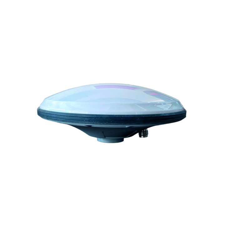
- The 3D GNSS Land Leveller uses global satellite navigation (GNSS) combined with laser technology to deliver ultra-precise land leveling.
- The integrated GNSS system constantly tracks position and elevation, adjusting the blade automatically in real-time.
- The smart control box and sensors enable automatic blade lifting and lowering based on pre-set elevation levels.
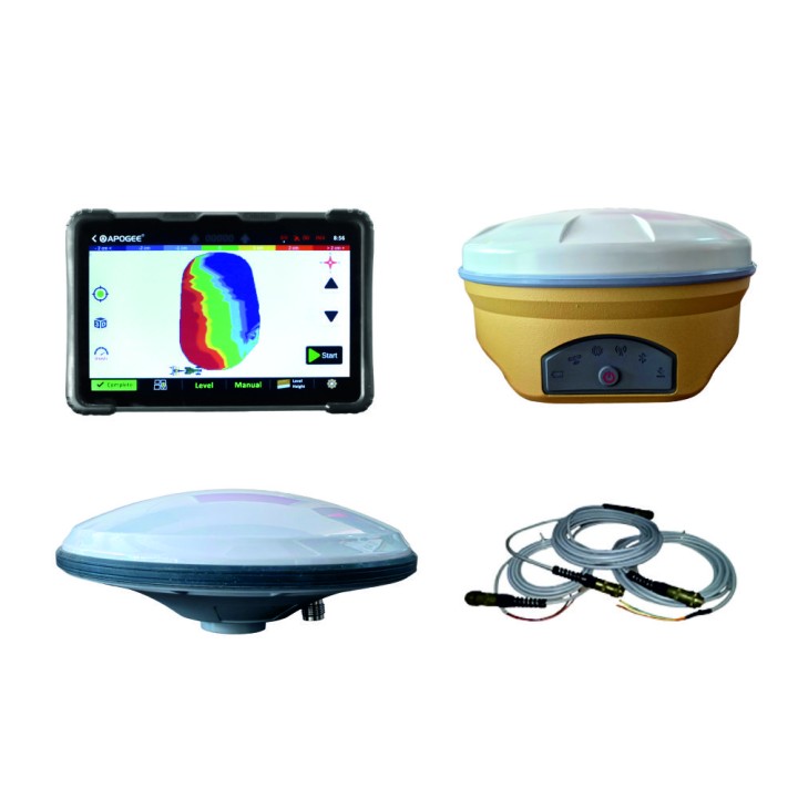
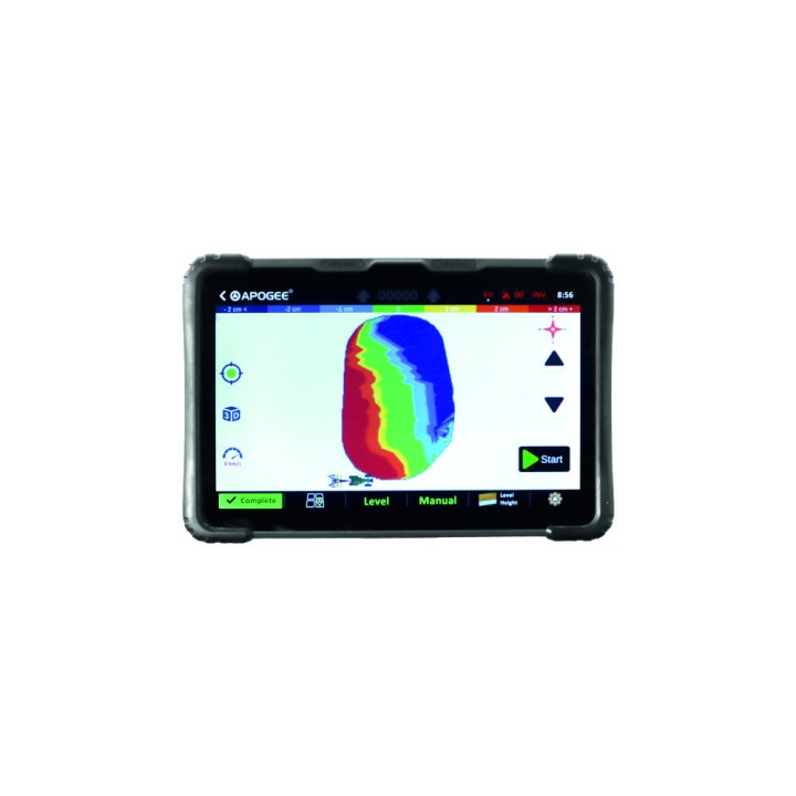
- The GNSS system features an intuitive display and smart controller, allowing even first-time users to operate the machine with confidence.
- By increasing precision, reducing resource use, and enhancing output, the Apogee 3D GNSS Land Leveller promotes modern, sustainable, and profitable agriculture.
Technical Specifications
Real-Time Terrain & Leveling Support
3D mapping of field surface.
Terrain surveying and design tools (cut-fill maps, slope control).
Multiple slope/leveling modes (flat, single slope, dual slope).
Communication & Control
Radio link between base and rover (e.g., 433 MHz, 470 MHz).
Telemetry and remote control support.
Optional 4G/Internet RTK correction reception via modem.
IMU / Blade Positioning (on some systems)
Internal sensors (IMU) determine blade orientation and motion in real time.
