
Blog

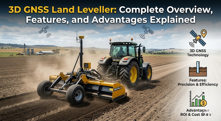
3D GNSS Land Leveller: Complete Overview, Features and Advantages Explained
Ever stood at the edge of a field after a heavy rain and watched water pool in some spots while other patches stayed bone dry? Yeah, that's the kind of headache every farmer knows too well. Uneven land is sneaky. It quietly reduces your yield, wastes your water, and consumes fuel at an unsustainable rate. And that's exactly where the 3D GNSS Land Leveller steps in to change the game.
What Exactly Is a 3D GNSS Land Leveller?
Think of it as the smarter, satellite powered cousin of the traditional laser based levelling system. Instead of relying on a single laser transmitter pointed across your field, the GNSS Land Leveller uses satellite signals (yep, the same kind your phone's GPS uses, but way more accurate) to map out the entire piece of land in three dimensions. So while a laser leveller gives you a flat field, the GNSS version gives you a precision engineered field. There's a difference.
The system creates a digital 3D map of your land's surface. Then it figures out the most efficient way to move soil around to get the slope you actually want. Not just flat. Smartly graded.
How Does It Actually Work?
Here's the simple version:
1. Survey first. The GNSS receiver mounted on the tractor scans the whole field and records elevation data point by point.
2. Design the plan. The onboard computer crunches that data and figures out where soil needs to be cut and where it needs to be filled.
3. Auto level. The tractor pulls a leveling blade that adjusts in real time based on satellite positioning. No manual guesswork.
And the best part? It works even when there's no clear line of sight, unlike older laser setups that can get fussy when something blocks the beam.
Key Features of 3D GNSS Land Leveller
Let's talk about what's actually packed inside this machine. Because the 3D GNSS Land Leveller isn't just a gadget. It's a serious piece of farming kit.
1. Centimeter level accuracy. We're talking real precision here.
2. Works on large fields without losing signal. No transmitter range issues.
3. Handles slopes and grades. You can design fields that drain properly, not just flat ones.
4. Real time data display. The operator sees everything happening on screen.
5. Compatible with most modern tractors. No need to buy a whole new fleet.
Why Farmers Are Switching to GNSS Over Older Methods
Look, traditional methods aren't bad. They've served farmers for decades. But the world's moved on. Water is scarcer. Fuel costs more. And every bag of seed feels heavier on the wallet.
If you're curious about how this compares toconventional leveling techniques, the short answer is GNSS wins on flexibility, speed, and accuracy. Especially on bigger plots.
Water Savings That Actually Matter
A properly levelled field can save anywhere from 25% to 30% of irrigation water. That's not a small number. When you understandhow leveling affects soil and water management, it starts to click why this tech is worth every rupee.
Better Yields Without Extra Effort
Even seed depth. Uniform moisture. No waterlogged patches killing crops. The result? Bigger, more consistent harvests. Some farmers report yield jumps of 15 to 20% just from levelling alone.
Real Advantages of Using a 3D GNSS Land Leveller
Here's where it gets exciting. The benefits aren't theoretical. They show up in the bank account.
1. Lower irrigation costs because water spreads evenly.
2. Reduced fuel use since tractors don't need to make extra passes.
3. Less fertilizer waste, because nutrients don't get washed into low spots.
4. Easier sowing and harvesting on a properly graded field.
5. Long term soil health improvements.
Is It Worth the Investment?
For small farmers, there areaffordable options worth checking out. And the government's been pretty generous withsubsidies in states like UP. So the upfront cost isn't as scary as it sounds once you factor those in.
Plus, when you look at the sustainability angle and water conservation benefits, it's clear this isn't just about saving money. It's about farming smarter for the long haul.
The GNSS Land Leveller isn't some fancy toy for big corporate farms. It's a practical tool that's slowly becoming standard across modern Indian agriculture. If you're serious about cutting costs, saving water, and getting better yields year after year, this is worth a hard look.
Want to explore more options? Browse the full range atApogee Agrotech and see what fits your needs.
FAQs
1. How is a GNSS land leveller different from a laser leveller?
A laser leveller uses a transmitter and receiver for flat fields. The GNSS Land Leveller uses satellite data to create 3D graded fields, which are more flexible and accurate over large areas.
2. Can I use a GNSS land leveller on small farms?
Yes, but it's typically more cost effective on medium to large plots. For smaller farms, a traditional laser leveller might do the job just as well.
3. Is there a subsidy available?
Many state governments offer subsidies. Check the eligibility and brand list guide to see what applies in your region.
4. How do I pick the right one for my farm?
This practical buying guide walks you through the key things to consider before spending.
5. Will it work with my existing tractor?
Most modern tractors with decent hydraulics can run a GNSS leveller. Always check compatibility before buying.
.png)


